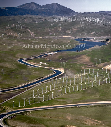
Aerial photograph of Bethany Reservoir in the Diablo Foothill Range amidst windmills as it feeds the California Aqueduct as it begins its transport of water southward to Southern California. The Delta-Mendota Canal is at bottom and Mt. Diablo is at top.
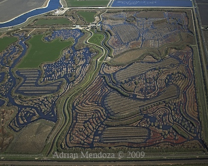
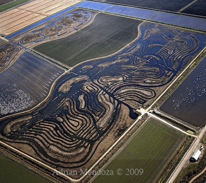
Patterns in the California Delta.
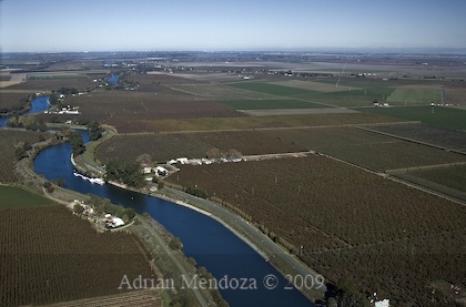
Steamboat Slough winds its way between Ryer Island, left, and Grand Island, right, near Walnut Grove in the California Delta.
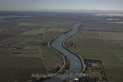
The Sacramento River flows past the Ryde Hotel on Grand Island, right, near Walnut Grove in the California Delta.
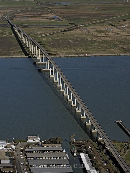
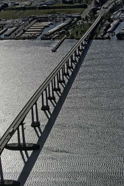
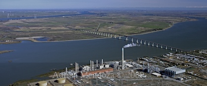
The San Joaquin River flows towards the San Francisco Bay beneath the Antioch Bridge from the California Delta.
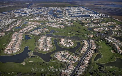
The town of Discovery Bay in the California Delta.
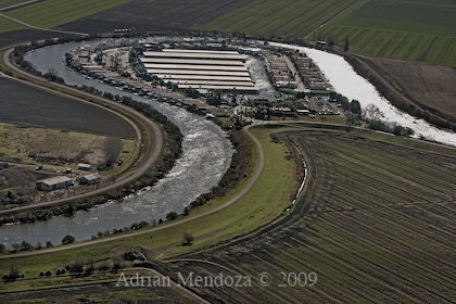
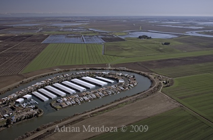
Two views of the Oxbow Marina on Georgiana Slough near Isleton in the California Delta.
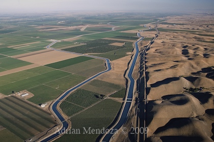
At left is the Delta-Mendota Canal, center, California Aqueduct adjacent to I-5 in California's Central Valley.
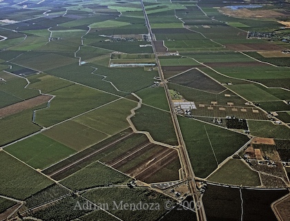
Patchwork Stanislaus County farms in California's Central Valley.
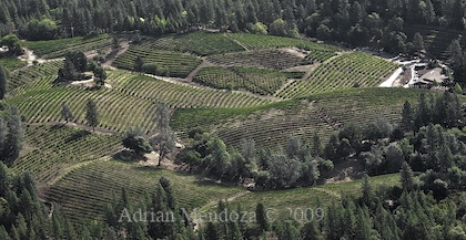
The vineyards of Boeger Winery on Apple Hill in El Dorado County in the Sierra Foothills of California.
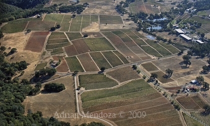
The vineyards of Amador County in the Sierra Foothills of California.
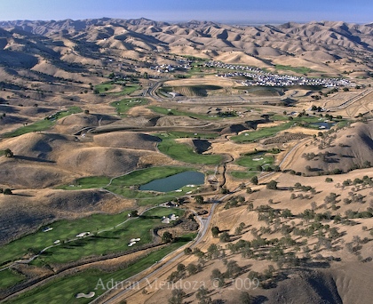
The Diablo Grande golf resort in the western foothills of California's Central Valley.
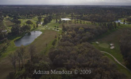
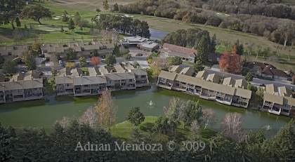
The golf course and homes surrounding the Del Rio Country Club in Modesto, CA.
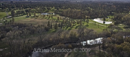
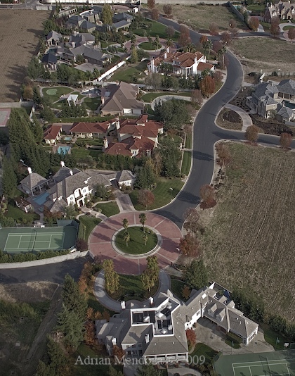
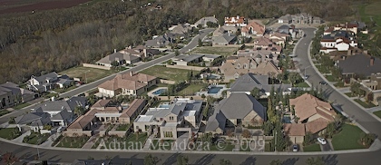
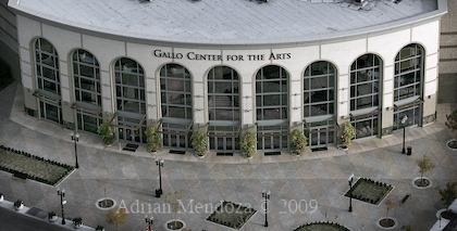
Front view, above, and rear view, below, of the Gallo Center for the Arts in Modesto, CA.
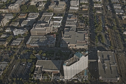
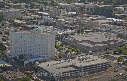
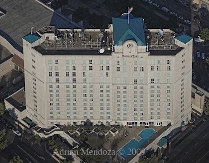
Various views of the DoubleTree Inn in Modesto, CA.
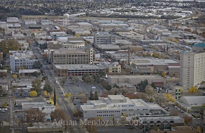
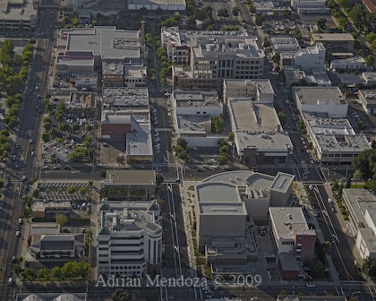
View looking south at downtown Modesto and 11th Street at left.
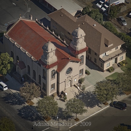
The old St. Stanislaus Church in Modesto, CA.
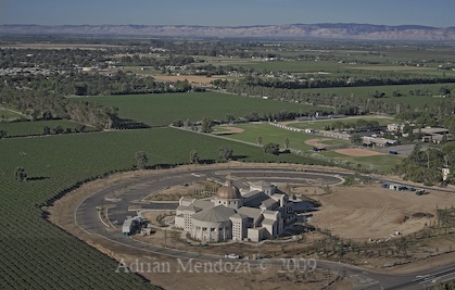
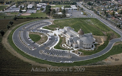
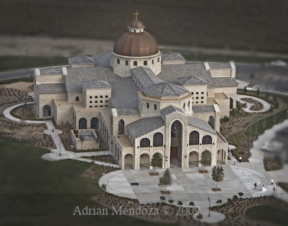
The recently built St. Stanislaus Church in Modesto, CA.
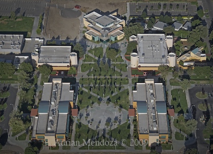
The Modesto Junior College West Campus in Modesto, CA.
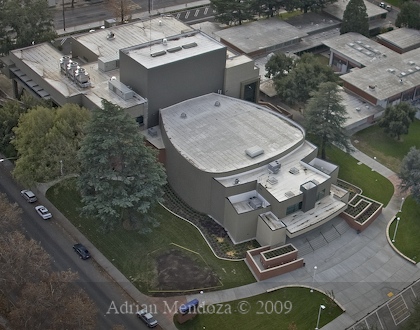
The newly remodeled Performing Arts Center at Modesto Junior College East Campus in Modesto, CA.
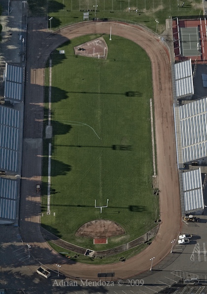
File photo of track under construction in 2007 at the Modesto Junior College East Campus in Modesto, CA.
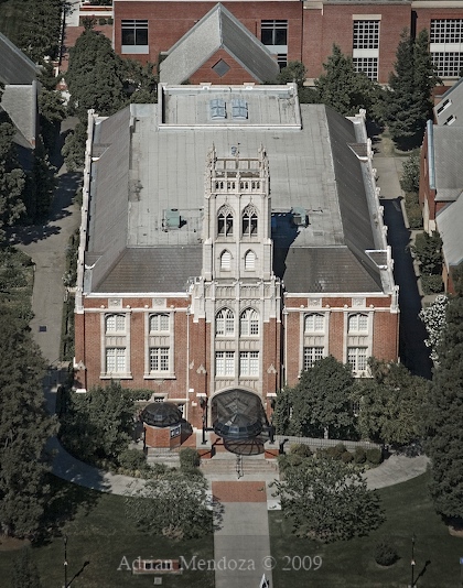
The Faye Spanos Concert Hall at the University of the Pacific in Stockton, CA.

The Donald and Karen DeRosa University Center at the University of the Pacific in Stockton, CA.
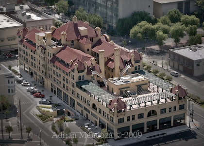
The historic Hotel Stockton in Stockton, CA.
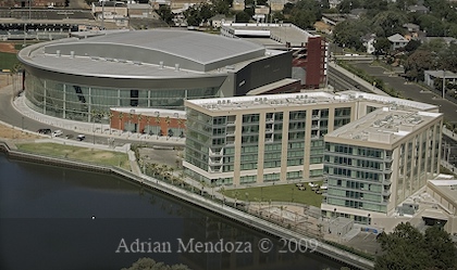
At left is the Stockton Arena and right is the Stockton Sheraton Hotel in Stockton, CA.
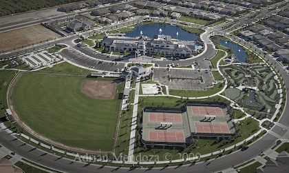
The Del Webb "Woodbridge" adult living Recreation Center in Manteca, CA.
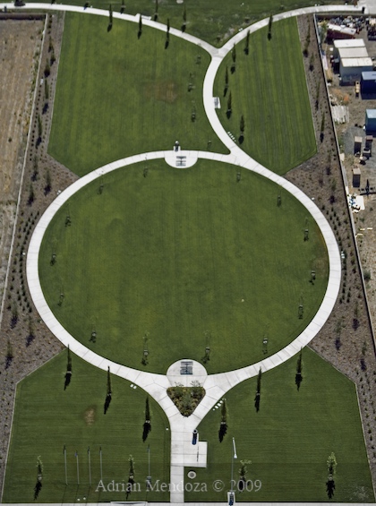
Park in Stockton, CA.
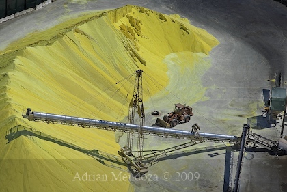
Sulfur processing plant at the Port of Stockton in Stockton, CA.
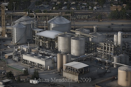
Grain silos at the A.L. Gilbert processing plant in Turlock, CA.
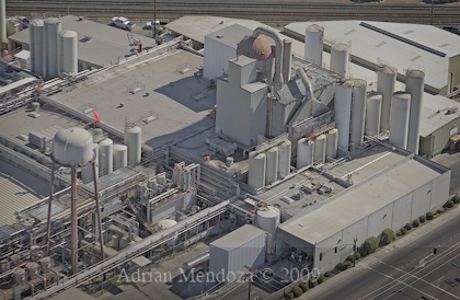
The Foster Farms Dairy Plant in Modesto, CA.
All Rights Reserved.
Cool photos! I wonder if you ever took some aerials of Stockton's cross town freeway. It's kind of like an octopus when it intersects with I-5.
ReplyDeletewhat a great aerialphoto...it will tell everything about the disney you talk about.they use helicopter,helicam or sattelite images?
ReplyDeleteRegards
what a aerial shot!!! amazing pattern from the sky.i like Aerial photograph of Bethany Reservoir in the Diablo Foothill Range .
ReplyDeletewhat camera& lens did you use while taking photo ofThe San Joaquin River flows towards the San Francisco Bay beneath the Antioch Bridge from the California Delta?
regards
Aerial Photography Bali Jakarta Indonesia || education || eventful
The visual impact is acute. The centering of the subjects and descriptions is very well done. As a long-time citizen who knows most of these places, I feel the photographer did a marvelous job of showing views the ordinary person would never see. My favorite was the one photograph that shows the Delta Mendota, the California Aqueduct, the coast range and the fertile valley. That was a great shot.Beautiful photography. Thank you.
ReplyDeletePlease, could you contact me ? I am a French picture researcher and I am presently working with Hachette publishing company.We would like to reproduce one of your photos in a textbook.
ReplyDeleteThanks
Can someone please identify the 2009 photo of the "park in Stockton "?
ReplyDeleteThank you so much to share such an amazing and informative article about aerial photography destin. Keep us updating with more interesting articles.
ReplyDelete